,
PORTAL
>
O KATOWICACH
>
DZIELNICE
> MAPA DZIELNICY Z OK. 1880 R.
Zobacz inne fragmenty
tej mapy!
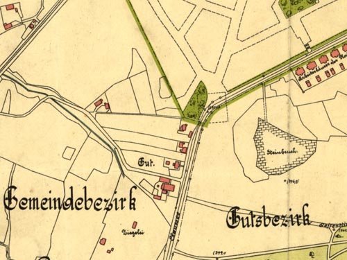
Obszar KWK "Wujek" (lewy dolny róg) na mapie z ok. 1800 r. (public domain)
Wstecz
-
Start
-
Do góry
Redakcja
-
Regulamin
-
Współpraca
-
Reklama
-
Strony WWW
© Copyright by
GST
05-12